
Surveying, Earthworks Models & Quantities in Hartbeespoort
Good earthworks decisions start with reliable site information. ENI Supplies coordinates survey inputs and turns levels and surface data into practical models, cut/fill quantities, design support and project controls that connect planning to construction.
Request Technical Support
Tell us about the site, available survey/drawing information and what you need to determine.
Turn site levels into useful earthworks information.
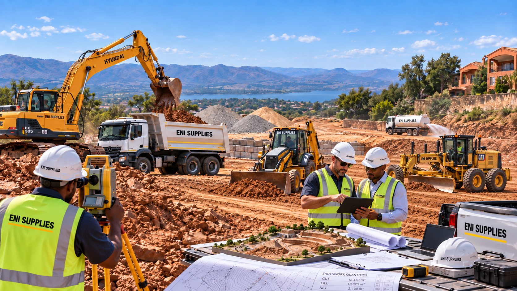
ENI integrates survey and design information with practical earthworks planning so quantities, levels and construction decisions can be understood before machines start moving material.
Use the model to improve the construction plan.
Earthworks quantities are most useful when they influence the method. ENI can use surface information and volume calculations to help assess cut-to-fill balance, imported material requirements, haul movement, machine selection, programme and remeasurement.
What the information can support
Can ENI arrange a topographical survey?
Yes. ENI can coordinate the survey scope and integrate the resulting ground-level data into earthworks planning and modelling. Specialist survey work is arranged or managed as appropriate to the project.
Can you calculate cut and fill quantities?
Yes. Where suitable survey and design surfaces are available, ENI can model the surfaces and calculate cut/fill and related earthworks volumes. Final commercial quantities should be tied to the agreed survey/design basis and remeasurement rules.
Can you assist with platform levels and drainage falls?
ENI can provide earthworks design support, level/gradient calculations and verification from supplied survey/design information. Where formal engineering design approval is required, the appointed registered professional remains responsible for that approval.
Can the same information be used during construction?
Yes. The model and agreed control information can support setting-out, construction checks, progress measurement, as-built/remeasurement work and project controls, depending on the project scope.
Take the information through to execution
Need to understand the earthworks before you build?
Send the site location, available drawings or survey information and the question you need answered.